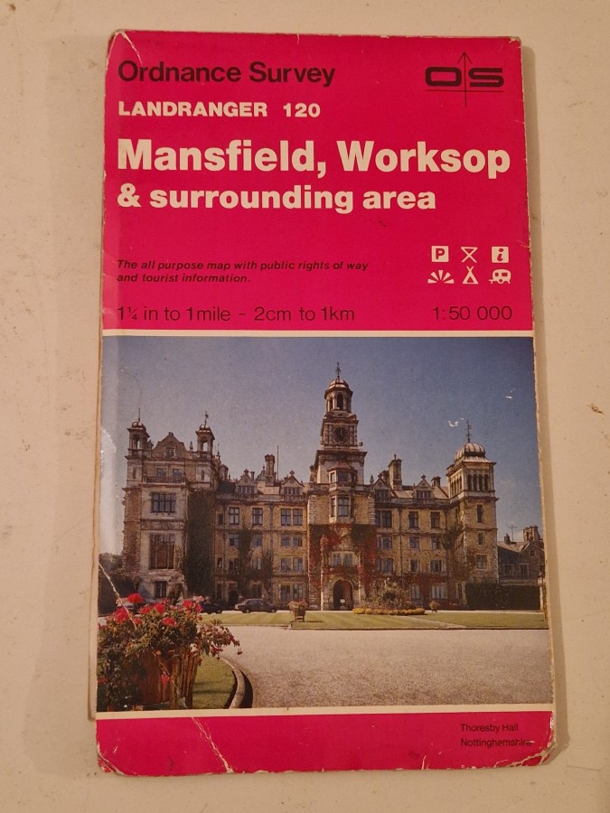
Description
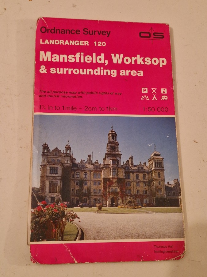
The Ordnance Survey Landranger series represents Britain’s most popular and detailed mapping system for walkers, cyclists, and outdoor enthusiasts. First published in their current 1:50,000 scale format in the 1970s, these maps replaced the earlier One-Inch series and have been continuously updated to reflect changes in the landscape. Sheet 120 covers the Mansfield and Worksop area in Nottinghamshire, including parts of Sherwood Forest and the Dukeries.
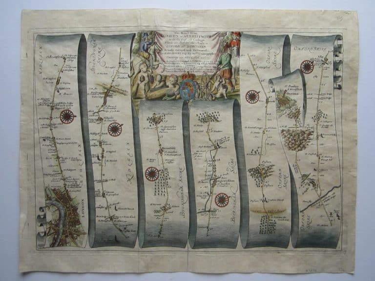
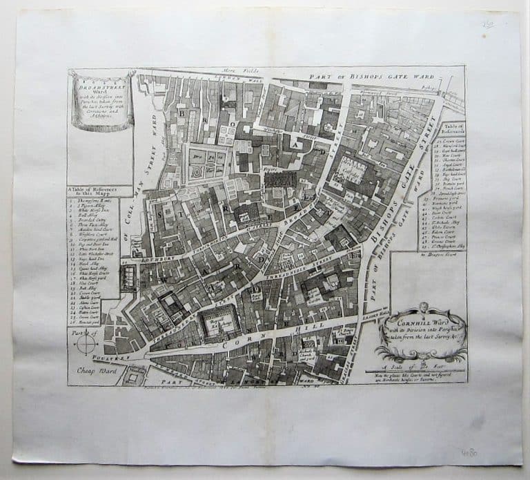
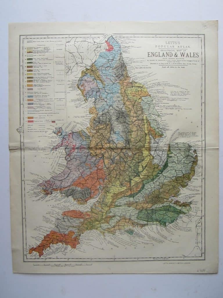
Vintage Ordnance Survey maps appeal to collectors of cartography, local historians, and those interested in documenting landscape changes over time. They are valued for their historical accuracy, beautiful cartographic design, and as nostalgic reminders of past travels and explorations. Map collectors particularly seek earlier editions that show features now lost to development or natural change.