Description
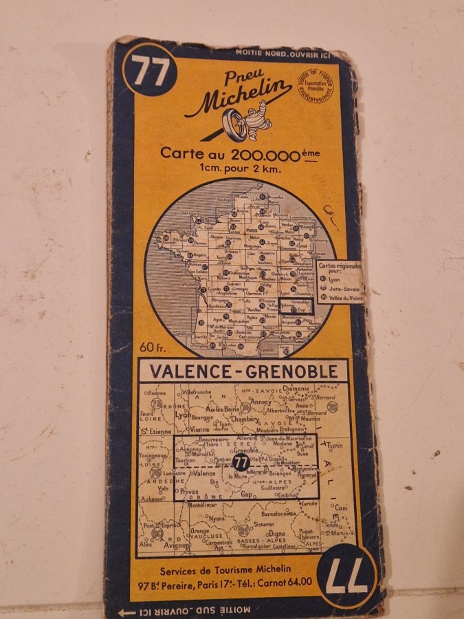
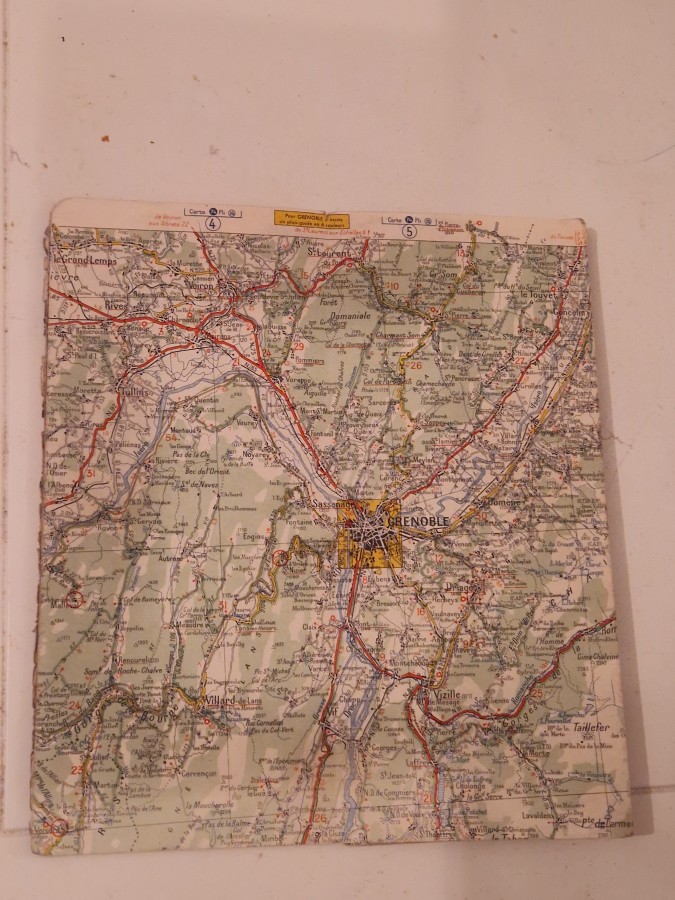
This Michelin road map represents the company’s renowned cartographic tradition that began in 1900 when the Michelin brothers started producing travel guides and maps for motorists in France. The distinctive yellow cover and detailed 1:200,000 scale made these maps essential tools for travelers navigating French roads during the mid-20th century. The map covers the scenic region between Valence and Grenoble in southeastern France, an area known for its Alpine landscapes and historic routes.
Vintage Michelin maps are highly sought after by cartography enthusiasts, automotive historians, and collectors of French ephemera. These maps appeal to those interested in the evolution of road travel, the history of tourism in France, and the development of regional infrastructure. Collectors value them for their historical significance, nostalgic appeal, and as decorative pieces that evoke the golden age of European road travel.