
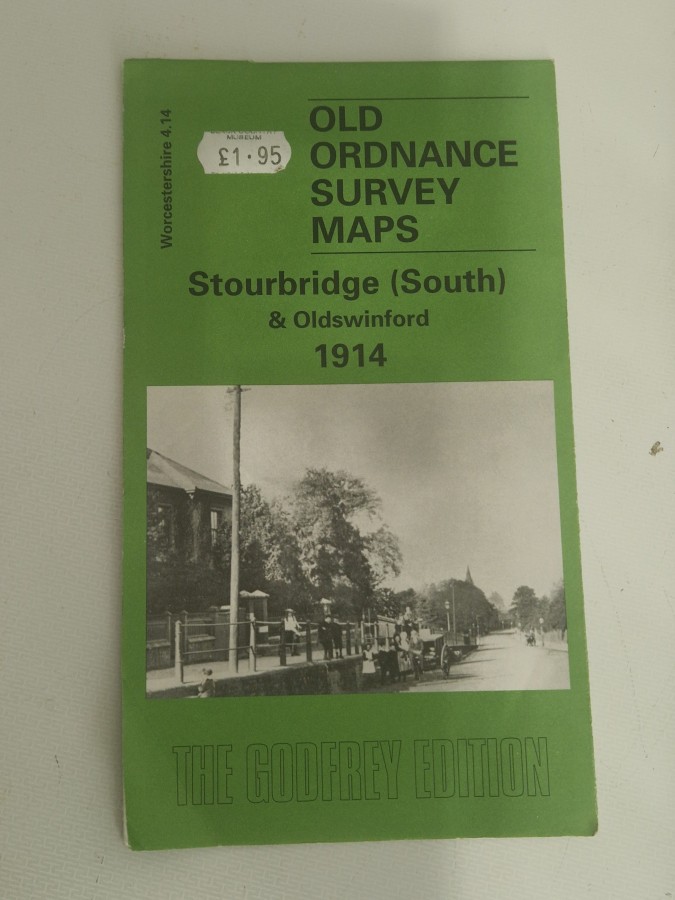
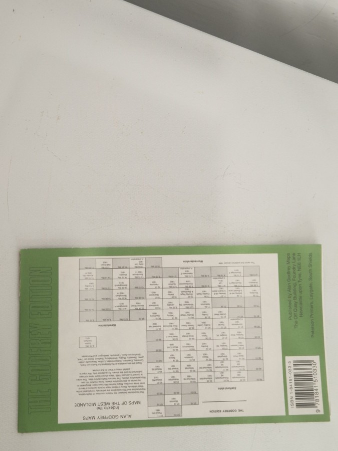
This is a reproduction of an original Ordnance Survey map from 1914, covering the Stourbridge South and Oldswinford areas in Worcestershire, England. The Ordnance Survey was Britain’s national mapping agency, and these detailed large-scale maps were produced during the early 20th century to document urban and rural landscapes with remarkable precision. The 1914 edition captures the region just before World War I, showing streets, buildings, railways, and topographical features as they existed over a century ago.
These reproduced historical maps are highly valued by local historians, genealogists, urban planners, and collectors interested in British cartography and social history. They provide invaluable insights into how communities developed, showing vanished buildings, old street layouts, and industrial sites that have since disappeared. Map enthusiasts and those researching family history particularly appreciate these reproductions for understanding the historical context of specific locations and tracing the evolution of British towns and cities.
Date Joined: 15th May 2026
You can commit to buy this item now. Proceed to checkout and complete shipping and contact details. Seller will be in touch to confirm delivery options, take payment and confirm the delivery. Note: Delivery costs may be added on by the seller.
In Stock
Contact the seller by filling out this form below. Seller will contact you back directly by email. You will need to arrange delivery, final cost & payment directly with the seller. Alternatively you can phone the dealer by clicking “Dealer Details”. Phone number will only show if seller has enabled phone call option.