
Description
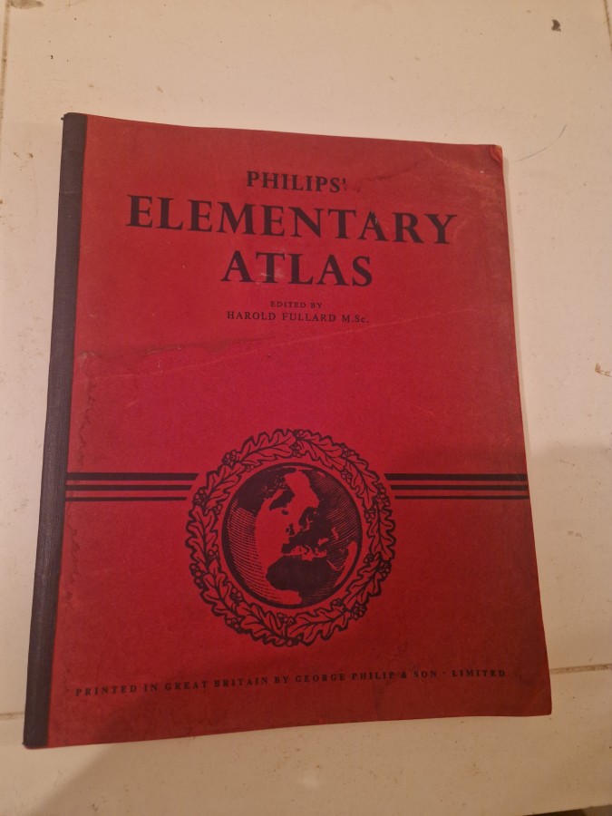
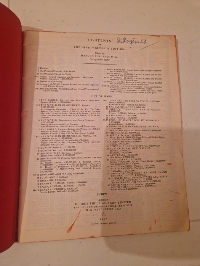
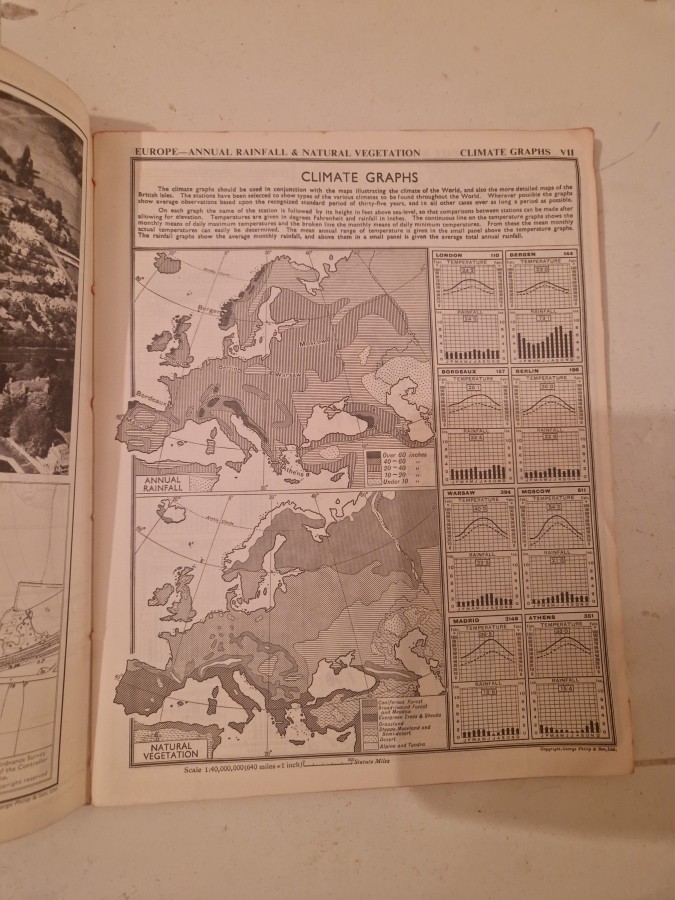
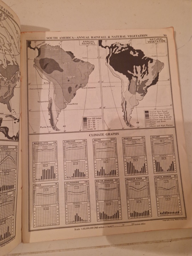
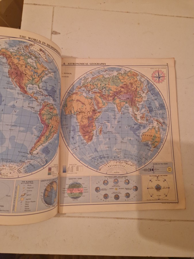
Philips’ Elementary Atlas was a widely used educational atlas published by George Philip & Son Ltd., a prominent British cartographic publisher established in the 19th century. This edition, printed in Great Britain by Hazell Watson & Viney Ltd., represents mid-20th century British educational cartography and was designed for school use. These atlases were standard teaching tools in British schools during the post-war period, providing students with fundamental geographical knowledge through detailed maps and illustrations. Educational atlases from this era are valued by collectors of vintage maps, educational materials, and British publishing history. They appeal to cartography enthusiasts, historians of education, and those interested in how geographical knowledge was presented during the mid-20th century. The red cloth binding and decorative globe emblem are characteristic of Philips’ distinctive design aesthetic of the period.